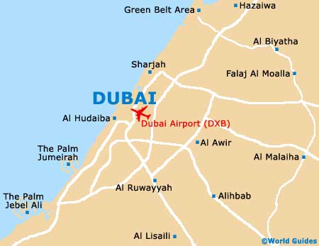
Dubai International Airport (DXB)
Orientation and Maps
(Dubai, United Arab Emirates)
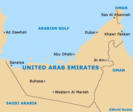
The city of Dubai is the most densely populated of all the emirates that are part of the United Arab Emirates (UAE), although it is actually second in size, after Abu Dhabi. A spectacular city in the making, in recent years Dubai has grown into a major tourist destination and contains many world-class sights, including the Jumeirah Palm island and also the seven-star Burj al-Arab hotel, which is currently the tallest hotel on the planet.
With literally millions of passengers flying into the area each year, Dubai International Airport (DXB) has become an increasingly integral part of the region's success. The airport lies on the south-western outskirts of the city and is of great significance throughout the Middle East. Public transport around Dubai is comprehensive and reliable, with around 60 different bus routes, plenty of taxis to go around and a proposed metro train system.
Dubai International Airport (DXB) Maps: Important City Districts
Many skyscrapers dominate the centre of Dubai and line a number of the main routes and highways, such as the Sheikh Zayed Road. Important parts of the city include the Dubai Marina, located close to the Jebel Ali Port. The modern district contains some of the city's tallest buildings and copmprises one of the biggest man-made marinas ever built.
Many ambitious construction projects are currently in progress around much of Dubai and the scale of these developments is immense. One of the largest and most impressive is the Dubai Waterfront, which is set to be bigger than many of America's top cities.
United Arab Emirates Map
Dubai Map